March 7, 2022–10:16 a.m.
FLOYD COUNTY EMA/NATIONAL WEATHER SERVICE
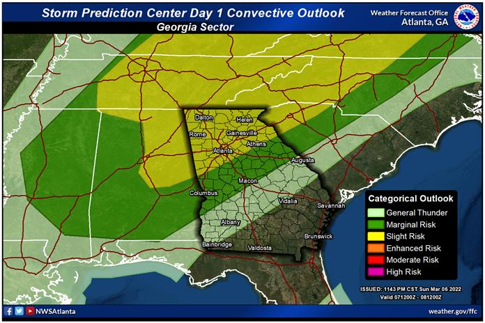
Northwest Georgia remains under a Slight Risk for severe weather Monday.
A cold front will bring a line of showers and thunderstorms into north and central Georgia this afternoon through tonight.
A Slight Risk (2 out of 5) of severe weather is in place for portions of north and west Georgia, mainly along and north of a line from Lagrange to Athens.
A Marginal Risk (1 out of 5) of severe weather extends into central Georgia, to the south of the Slight Risk, and north of a line from Stewart county to Macon to Warrenton.
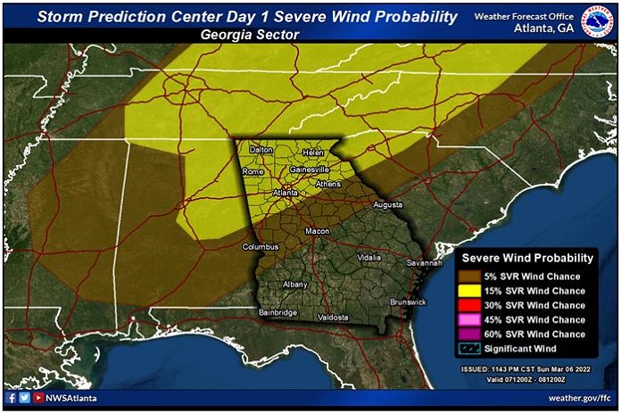
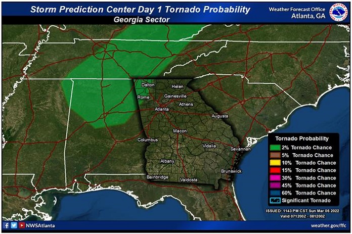
Primary concerns are for damaging wind gusts, though a brief tornado cannot be ruled out, especially in far northwestern GA. Locally heavy rainfall will also be possible with stronger storms that develop.
Timing for the Line of Storms:
Northwest GA: 1 PM – 3 PM
I-85 Corridor: 4 PM – 6 PM (impacting rush hour)
The line should start to weaken and become less organized as it moves south of the Interstate 85 corridor.
Thunderstorms should come to an end after midnight.