

Sunday, August 3, 2025–6:10 p.m.
-National Weather Service-
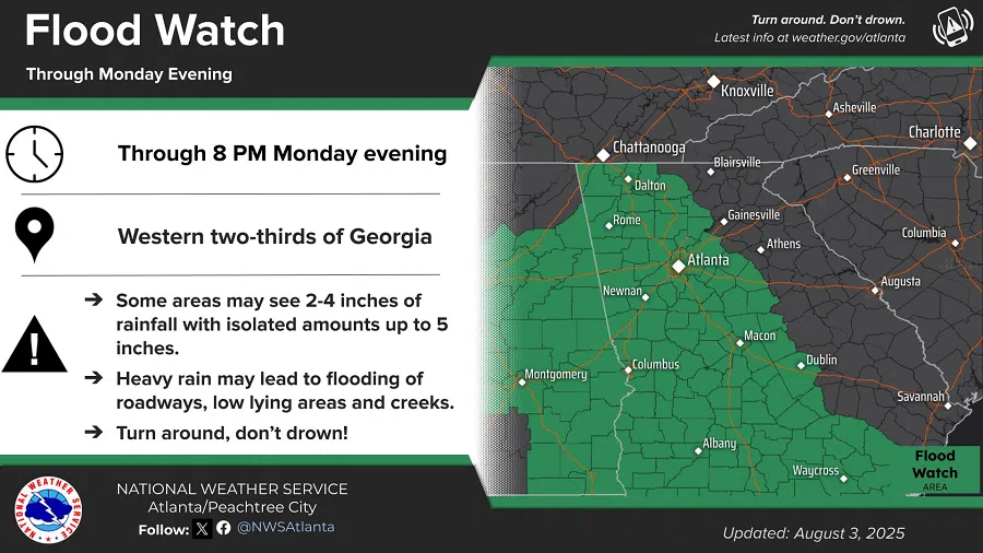
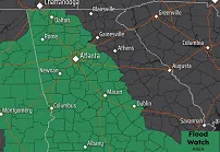
The National Weather Service has issued a Flood Warning until Monday evening for portions of central, north central, northwest, and west central Georgia, including the following areas:
Floyd, Bartow, Chattooga, Gordon, Polk, Paulding, Carroll, Catoosa, Dade, Haralson, Murray, Walker, and Whitfield
Flooding caused by excessive rainfall is possible through Monday evening. Excessive runoff may result in flooding of rivers, creeks, streams, and other low-lying and flood-prone locations.
Flooding may occur in poor drainage and urban areas.
A very moist air mass will remain in place across the region over the next several days.
Multiple rounds of scattered to numerous showers and thunderstorms are expected across much of North and west-central Georgia both today and Monday.
Widespread 1 to 3 inches with isolated totals up to 5 inches in Northwest GA have already been observed within the watch area over the past 24 hours.
Additional rainfall of 2 to 4 inches, with higher amounts up to 5 inches, is possible through Monday evening.
You should monitor later forecasts and be alert for possible Flood Warnings.
Those living in areas prone to flooding should be prepared to take action should flooding develop.
